Construction Drone Photography in Phoenix
Progress aerials, video, time-lapse and site maps for the life of your project.
Construction Drone Photography & Video in Phoenix
Looking for construction drone photography in Phoenix? We fly active job sites across the Valley for owners, developers, general contractors and project teams, on a repeat schedule for the length of a build or as a single visit when one milestone needs recording.
A construction site changes every week, and the record of that change is only useful if every visit can be compared with the last. We return to the same positions and altitudes each time, so your progress photos, video and time-lapse read as one continuous story from bare ground to finished building. Every flight is made under an FAA Part 107 remote pilot certificate with liability coverage in place.
Request a quote →What we deliver
Progress photography on a schedule. Weekly, monthly or tied to your milestones. The same angles and altitudes every visit, delivered in date order so anyone can see what changed since the last report.
Aerial video and flyovers. Moving passes over the site for owner updates, investor presentations, social channels and the launch reel when the building opens.
Time-lapse sequences. Frames from repeat visits cut into a single sequence that shows months of work in under a minute.
Orthomosaic site maps. A mapping flight stitched into one top down image of the whole site, useful for planning, logistics and progress review. They are visual records, not a substitute for a licensed survey.
Ground level site photography. Site walks, crews at work, equipment and detail, shot from the places a drone cannot reach.
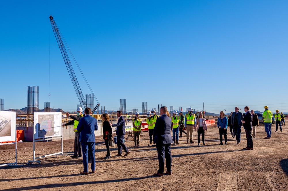
Milestone and site visit coverage. Groundbreakings, topping out ceremonies, ribbon cuttings and VIP site tours, covered by the same team that runs our corporate event photography in Phoenix.
Construction & industrial sites
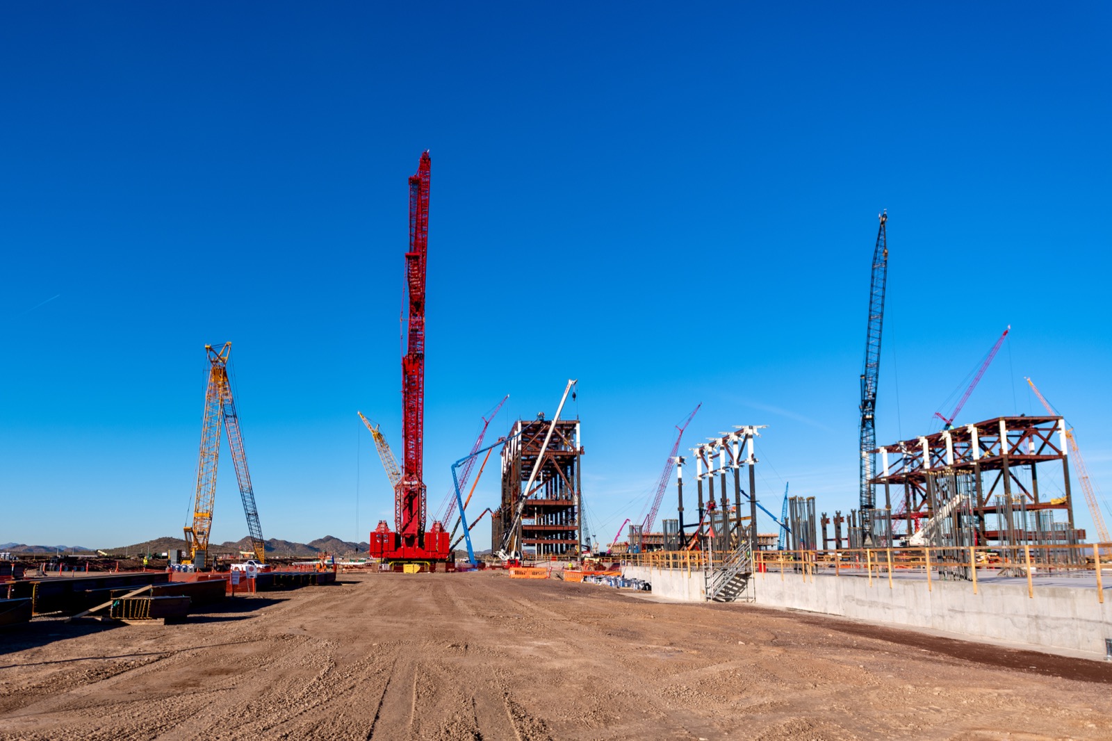
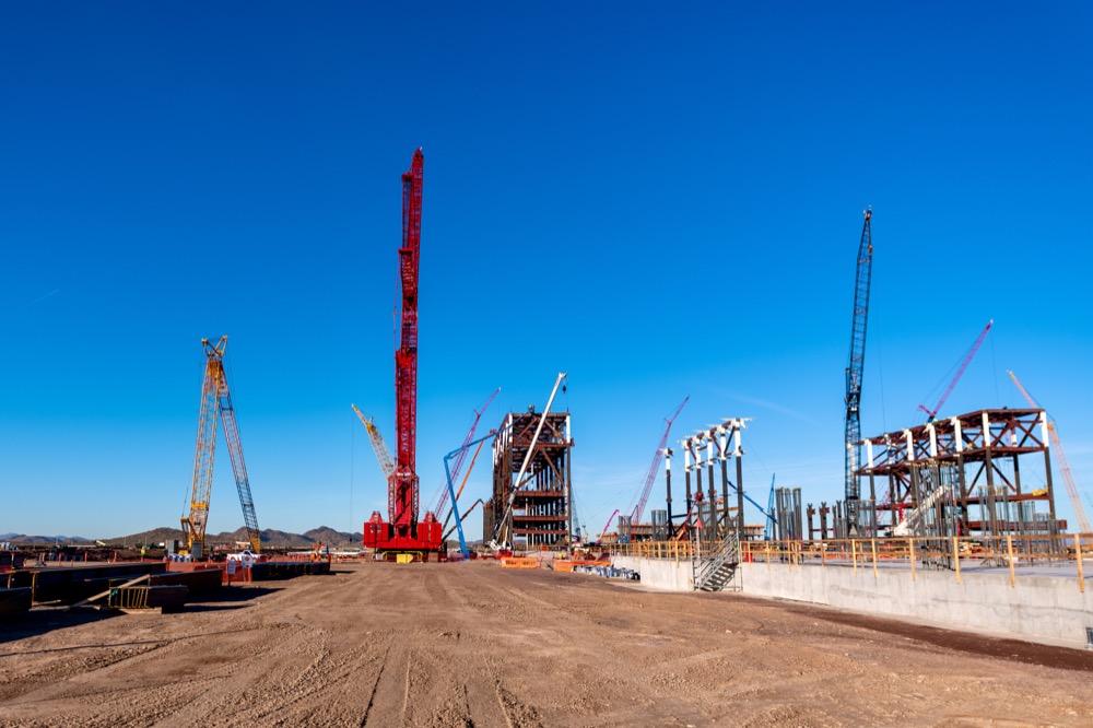
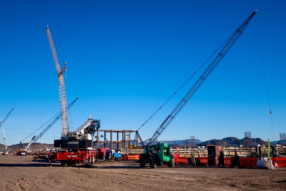
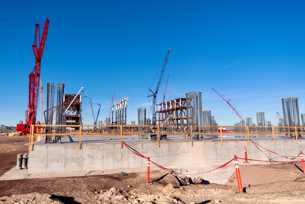
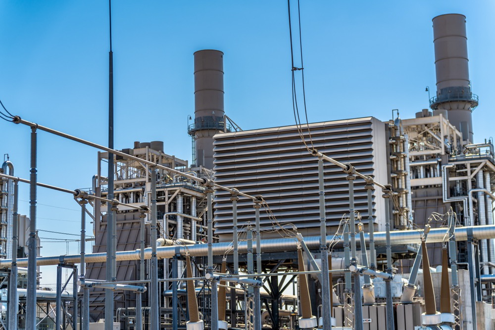
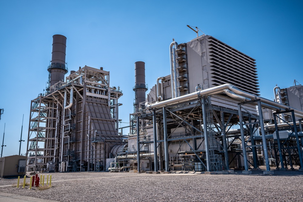
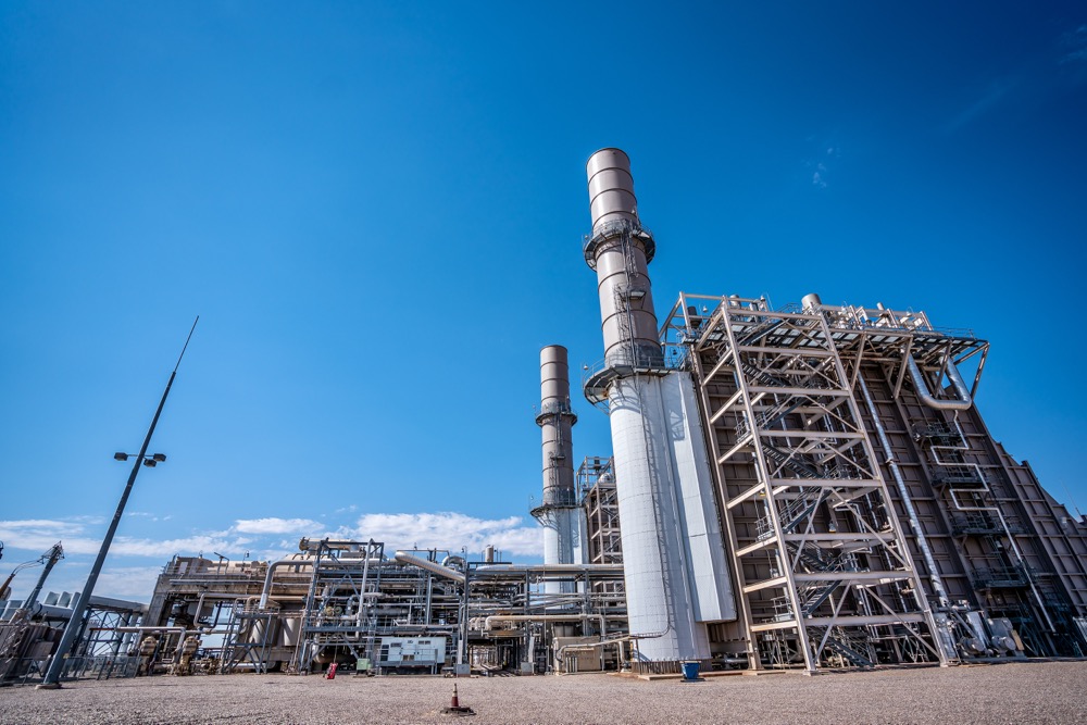
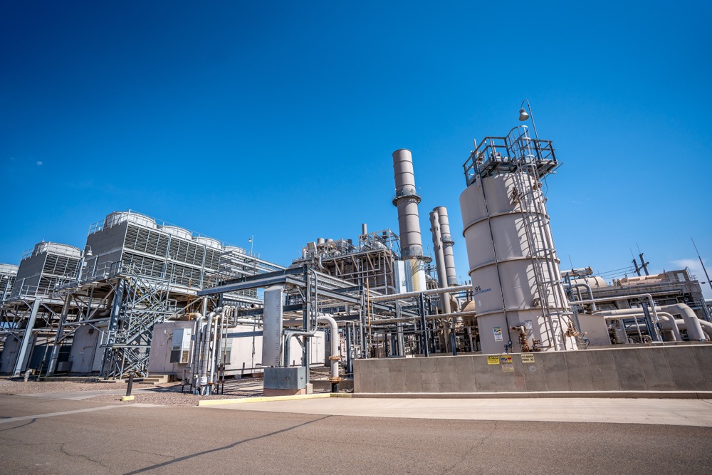
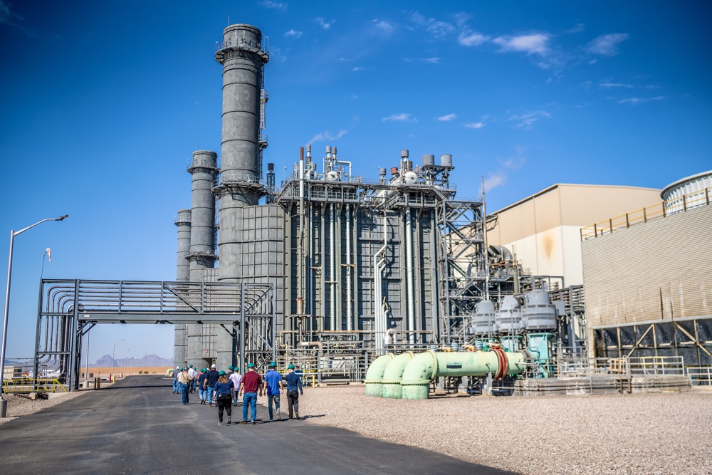
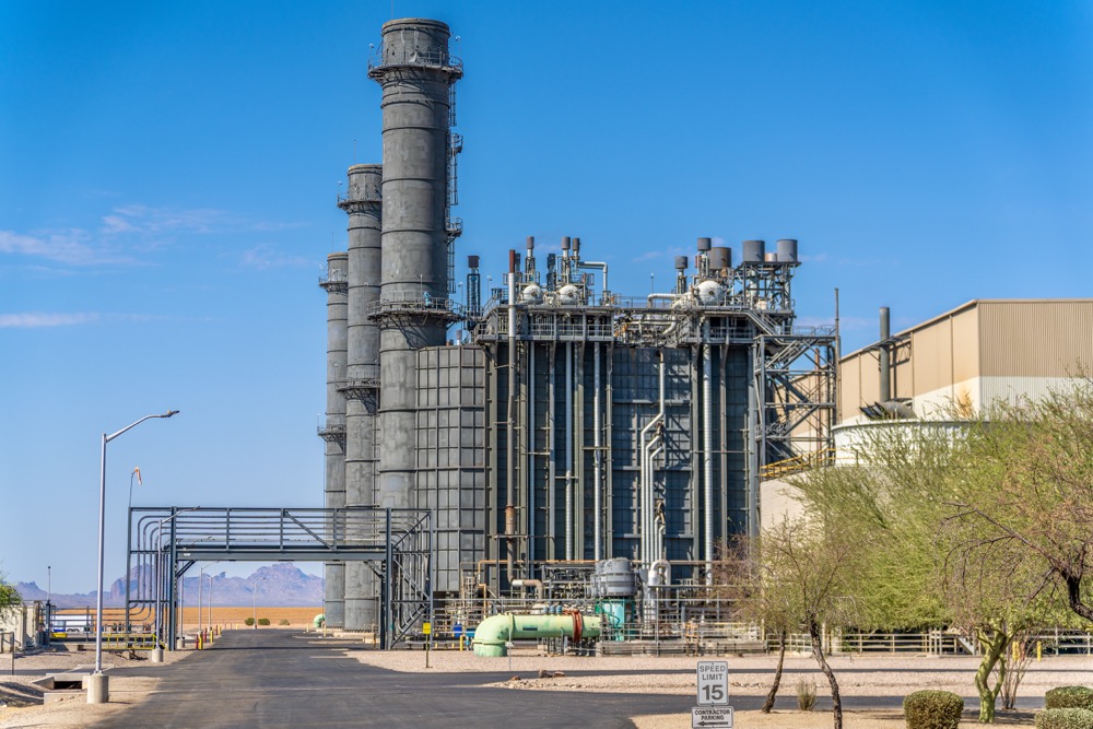
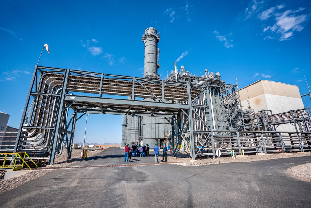
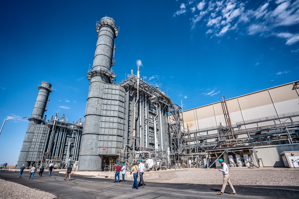
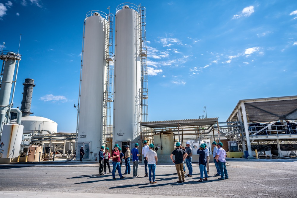
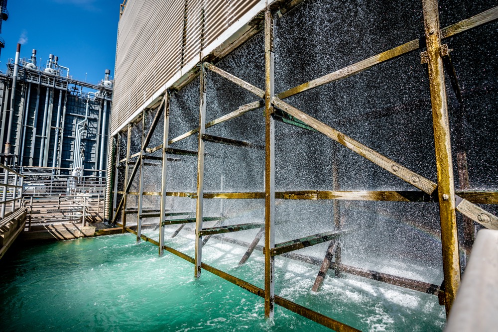
Recent work includes the TSMC Arizona fab site in north Phoenix during construction, and Capital Power's Arlington Valley and Harquahala generating facilities west of the city.
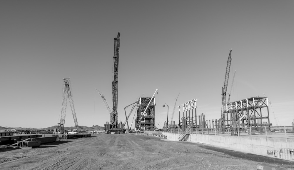
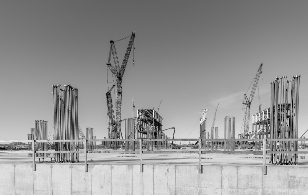
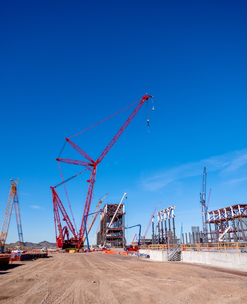
Built for the people who report on the project
Progress images get used by more people than the project manager who ordered them. Owners and lenders want proof of progress against the schedule. Marketing teams want the building looking its best long before it opens. Community relations and press want something they can publish. We plan each flight around where the images have to end up, so one visit serves all of them.
Consistency is what makes a progress archive worth having. On the first visit we record the positions, altitudes and framing for each view, then return to them on every flight after that. Files arrive named and sorted by date, so a month of change is obvious at a glance rather than buried in a folder of unrelated shots.
Arizona is good flying country for most of the year, but wind matters more than cloud here and monsoon afternoons are worth planning around. We favor early morning flights when the air is calmer, and we will move a visit rather than deliver soft footage. Read more about our wider aerial and architecture work on our drone photography in Phoenix page.
Industrial and energy facilities
Some of the most demanding sites are the ones that are already running. Power plants, factories and campuses come with escorts, sign in procedures and PPE rules, and we work inside them rather than around them. Our work for Capital Power covered two of its Arizona generating facilities on foot, from the scale of the plant against the desert to the tour groups walking through it.
The same approach carries over to construction: we follow your site's safety requirements, keep out of the way of the work, and coordinate flights with your superintendent so the drone is never a surprise to anyone on the ground.
Real estate aerials and listing photography
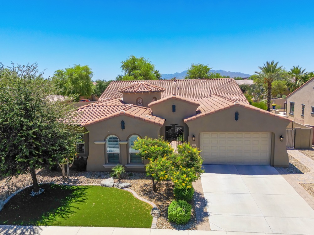
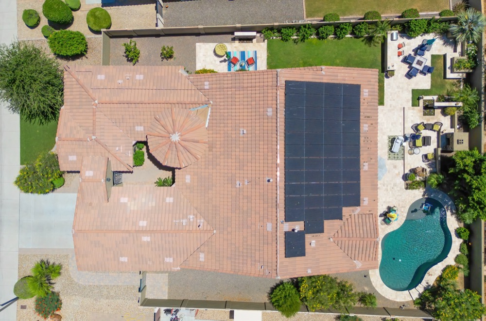
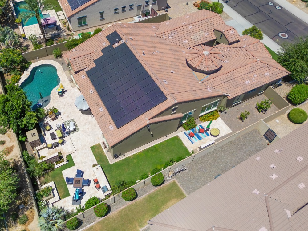
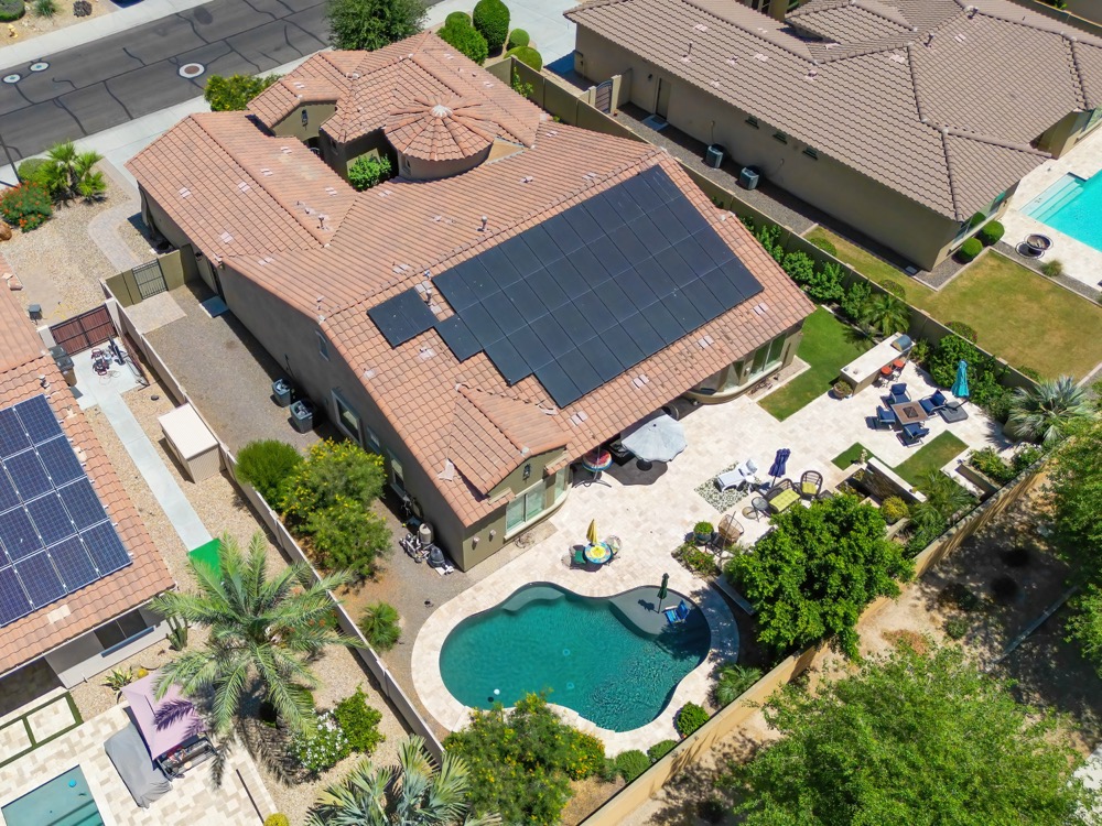
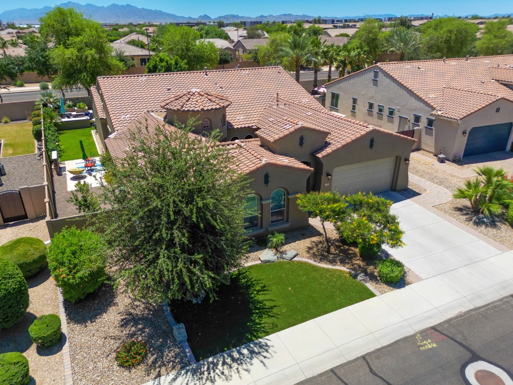
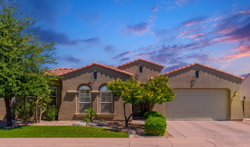
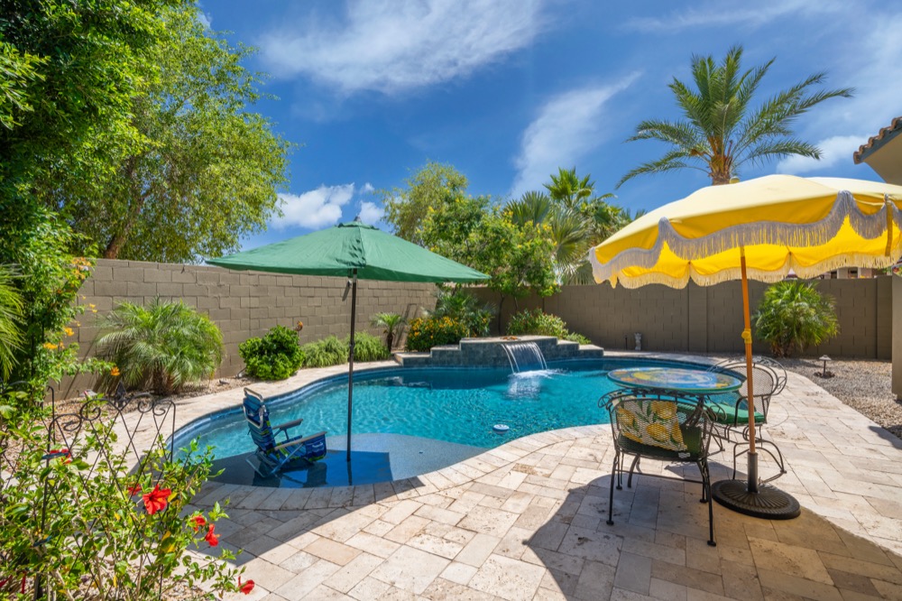
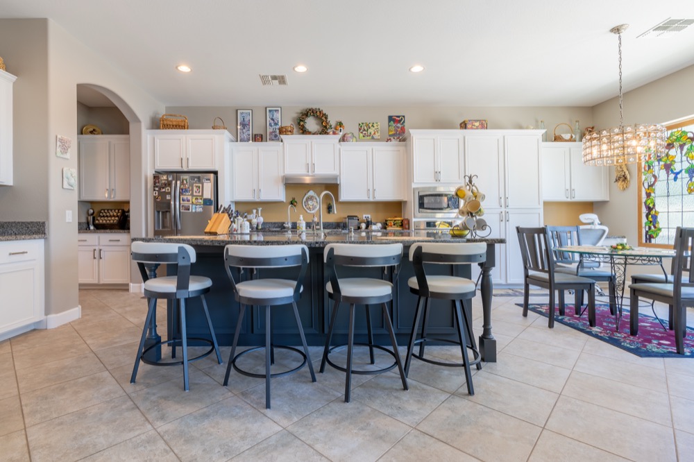
For property marketing, the drone shows what a street view cannot: the lot, the roofline, the pool and how a home sits in its neighborhood. We pair aerials with exterior and interior photography from the same visit, so a listing or a development brochure gets a complete set.
Serving Phoenix and the wider Valley
We fly construction, development and real estate sites throughout metropolitan Phoenix, from downtown Phoenix to Scottsdale, Tempe, Mesa, Chandler, Gilbert, Glendale, Peoria, Goodyear and the growth areas on the edges of the Valley. Travel within the metro is included, and project sites further out, like the generating facilities west of Phoenix, are quoted separately. If you are scoping a budget, see how our pricing works.
We handle the practical side of working on a job site: a certificate of insurance for the general contractor, a W-9 for vendor onboarding and a written contract before anyone flies. Construction is one part of our aerial work. For architecture, hospitality and property marketing, see drone and architecture photography, and for launch films and site reels, see video production in Phoenix.
Construction drone photography FAQ
Are you licensed and insured to fly over a construction site?
Yes. We fly under an FAA Part 107 Remote Pilot Certificate, the license required to operate a drone commercially in the United States, and we carry liability coverage. If your general contractor or site owner needs a certificate of insurance before we arrive, ask and we will send it over.
How often should construction progress be photographed?
It depends on how fast the job moves and who reads the updates. Most projects settle on a fixed interval, weekly or monthly, or tie visits to milestones such as site prep, foundations, steel, dry in and completion. Tell us your reporting rhythm and we will build the flight schedule around it.
Can you make a time-lapse of the build?
Yes. Because we return to the same positions and altitudes on every visit, the frames line up, and they can be cut into a time-lapse sequence that shows the whole build from bare ground to finished structure.
Do you create orthomosaic site maps?
Yes. We fly a mapping pattern over the site and stitch the frames into a single top down map, which is useful for planning, progress review and showing the whole site in one image. These are visual records rather than a licensed land survey.
Do you photograph on the ground as well?
Yes, and most construction clients want both. We cover site walks, crews at work, milestone events such as groundbreakings and topping out ceremonies, and the finished interiors and exteriors once the building opens.
How much does construction drone photography cost?
Construction work is quoted individually rather than sold from a package list, because one flight over a single lot and a monthly schedule across an eighteen month build are different jobs. Tell us the site, the schedule and what you need delivered, and we will come back with a fixed quote for the whole program.
How soon do we get the files?
Edited stills usually come back within a few days of each flight, and video, time-lapse and maps follow once they are assembled. We agree the delivery dates with you when we quote the job.
What areas do you serve?
Based in Phoenix, we fly construction and development sites in Scottsdale, Tempe, Mesa, Gilbert, Chandler, Glendale and throughout the greater Phoenix metropolitan area, and we travel to project sites beyond the metro by arrangement.


